Maps
8101-A
Ashland, KY 9/18/1940 (12x72)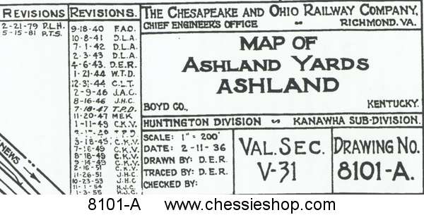 $12.00
Ashland, KY 9/18/1940 (12x72)
Yard map prints are copied from the original engineering drawings from our Historical Archives. They show detail of all tracks and buildings as of...
 $12.00
DS-8-112
C&O Division Maps (1960) $3.95... more info
C&O Division Maps (1960)
12 pages. This is important to understanding how the C&O operated in 1960. Many of these same divisions exist in today's CSX.
 $3.95... more info
6374
Charleston, WV 5/10/1924 rev 11/24/1930 (33x144) $24.00
Charleston, WV 5/10/1924 rev 11/24/1930 (33x144)
Yard map prints are copied from the original engineering drawings from our Historical Archives. They show detail of all tracks and buildings as of...
 $24.00
7432
Clifton Forge, VA 6/26/1926 rev 2/24/1932 (35x144) $25.00
Clifton Forge, VA 6/26/1926 rev 2/24/1932 (35x144)
Yard map prints are copied from the original engineering drawings from our Historical Archives. They show detail of all tracks and buildings as of...
 $25.00
7432-A
Clifton Forge, VA 7/18/1940 rev 1/30/1980 (12x60)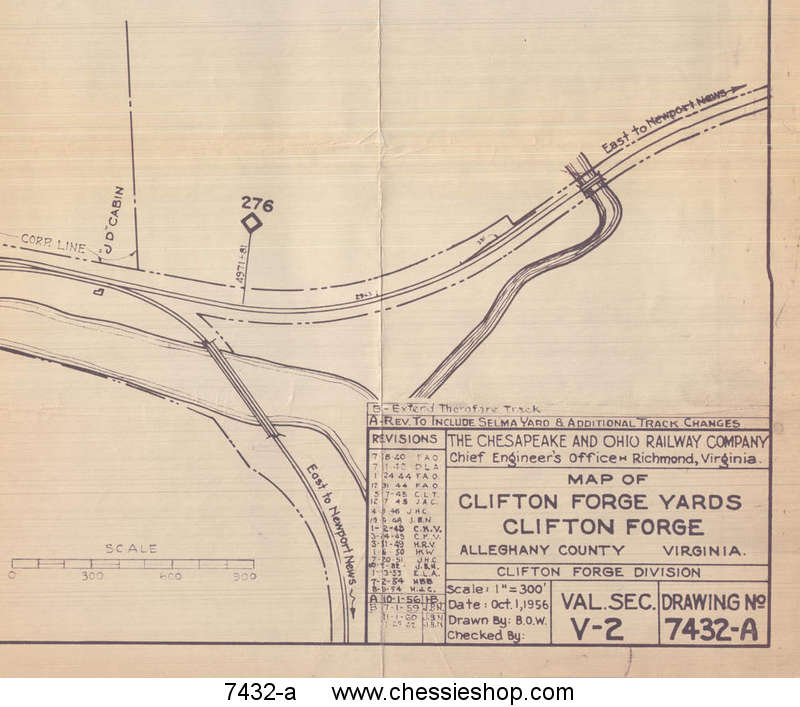 $10.00
Clifton Forge, VA 7/18/1940 rev 1/30/1980 (12x60)
Yard map prints are copied from the original engineering drawings from our Historical Archives. They show detail of all tracks and buildings as of...
 $10.00
6727
Covington, KY 3/17/1925 rev. 12/6/1979 (12x55)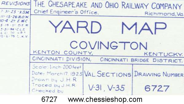 $9.00
$9.00
Covington, KY 3/17/1925 rev. 12/6/1979 (12x55)
Yard map prints are copied from the original engineering drawings from our Historical Archives. They show detail of all tracks and buildings as of...
 $9.00
$9.00
7716
Covington, VA 12/2/1926 (12x36)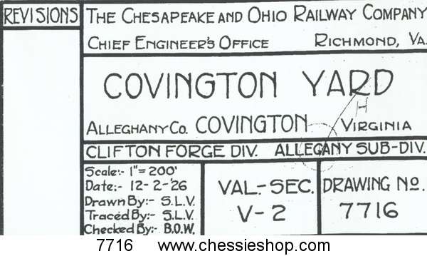 $6.00
$6.00
Covington, VA 12/2/1926 (12x36)
Yard map prints are copied from the original engineering drawings from our Historical Archives. They show detail of all tracks and buildings as of...
 $6.00
$6.00
9294
Fire Prevention Map 17th St. Richmond VA 1930 (12"x47")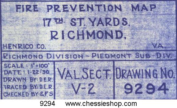 $7.00
$7.00
Fire Prevention Map 17th St. Richmond VA 1930 (12"x47")
Fire Prevention maps show tracks, water lines, and structures. Each structure is numbered and identified as to purpose. These maps are a wealth of...
 $7.00
$7.00
9299
Fire Prevention Map 26th St Ashland, KY 1/1930 (12"x35")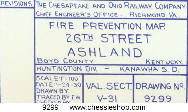 $6.00
$6.00
Fire Prevention Map 26th St Ashland, KY 1/1930 (12"x35")
Fire Prevention maps show tracks, water lines, and structures. Each structure is numbered and identified as to purpose. These maps are a wealth of...
 $6.00
$6.00
9419
Fire Prevention Map 6th St. Yd - Ashland, KY 1930 (12"x17")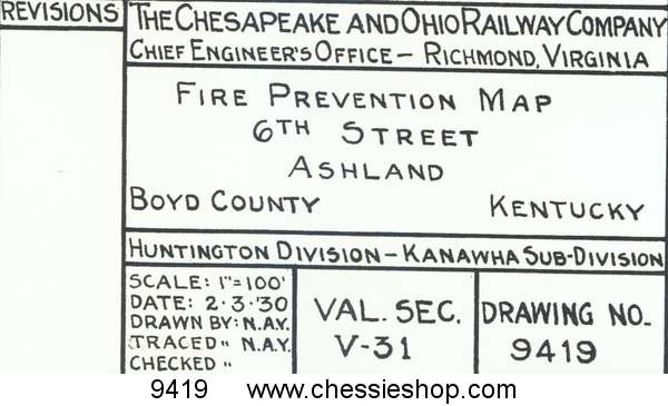 $4.00
$4.00
Fire Prevention Map 6th St. Yd - Ashland, KY 1930 (12"x17")
Fire Prevention maps show tracks, water lines, and structures. Each structure is numbered and identified as to purpose. These maps are a wealth of...
 $4.00
$4.00
9415
Fire Prevention Map Boston, IN 1930 (12"x30") $6.00
$6.00
Fire Prevention Map Boston, IN 1930 (12"x30")
Fire Prevention maps show tracks, water lines, and structures. Each structure is numbered and identified as to purpose. These maps are a wealth of...
 $6.00
$6.00
9286
Fire Prevention Map Charlottesville, VA 1/1930 (11"x42")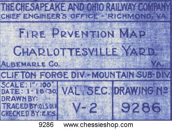 $7.00
$7.00
Fire Prevention Map Charlottesville, VA 1/1930 (11"x42")
Fire Prevention maps show tracks, water lines, and structures. Each structure is numbered and identifed as to purpose. These maps are a wealth of...
 $7.00
$7.00
9300
Fire Prevention Map Chevoit, OH 1/23/29 (12"x17")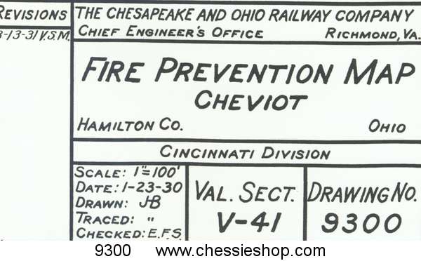 $4.00
$4.00
Fire Prevention Map Chevoit, OH 1/23/29 (12"x17")
Fire Prevention maps show tracks, water lines, and structures. Each structure is numbered and identifed as to purpose. These maps are a wealth of...
 $4.00
$4.00
9412
Fire Prevention Map Covington, KY 1/27/30 (12"x17")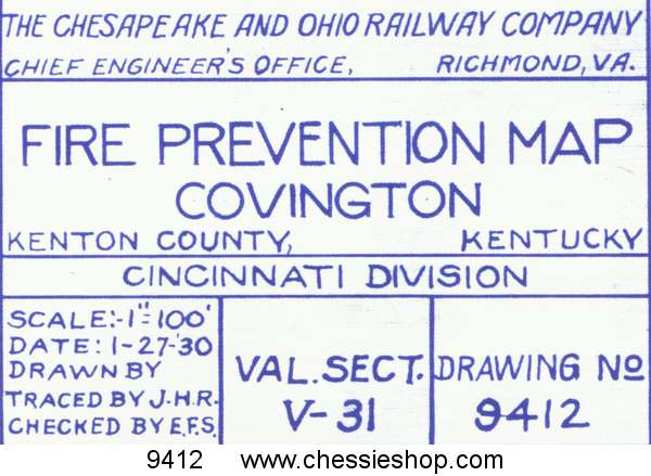 $4.00
$4.00
Fire Prevention Map Covington, KY 1/27/30 (12"x17")
Fire Prevention maps show tracks, water lines, and structures. Each structure is numbered and identified as to purpose. These maps are a wealth of...
 $4.00
$4.00
9293
Fire Prevention Map Elk Run Jct., WV 1/30 (12"x47")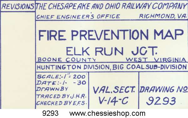 $7.00
$7.00
Fire Prevention Map Elk Run Jct., WV 1/30 (12"x47")
Fire Prevention maps show tracks, water lines, and structures. Each structure is numbered and identified as to purpose. These maps are a wealth of...
 $7.00
$7.00
9405
Fire Prevention Map Gladstone VA 1/24/29 (12"x30")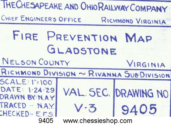 $5.00
$5.00
Fire Prevention Map Gladstone VA 1/24/29 (12"x30")
Fire Prevention maps show tracks, water lines, and structures. Each structure is numbered and identified as to purpose. These maps are a wealth of...
 $5.00
$5.00
9298
Fire Prevention Map Handley WV 1/23/30 (12"x34")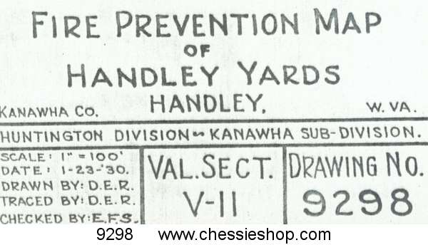 $6.00
$6.00
Fire Prevention Map Handley WV 1/23/30 (12"x34")
Fire Prevention maps show tracks, water lines, and structures. Each structure is numbered and identified as to purpose. These maps are a wealth of...
 $6.00
$6.00
9407
Fire Prevention Map Neatherland Yard Lexington KY 1930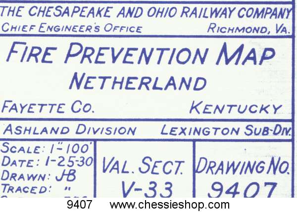 $5.00
$5.00
Fire Prevention Map Neatherland Yard Lexington KY 1930
Fire Prevention maps show tracks, water lines, and structures. Each structure is numbered and identified as to purpose. These maps are a wealth of...
 $5.00
$5.00
9276
Fire Prevention Map Paintsville, KY 1/15/30 (12x16") $4.00
$4.00
Fire Prevention Map Paintsville, KY 1/15/30 (12x16")
Fire Prevention maps show tracks, water lines, and structures. Each structure is numbered and identified as to purpose. These maps are a wealth of...
 $4.00
$4.00
9414
Fire Prevention Map Peach Creek, WV 1/24/30 (12"x37")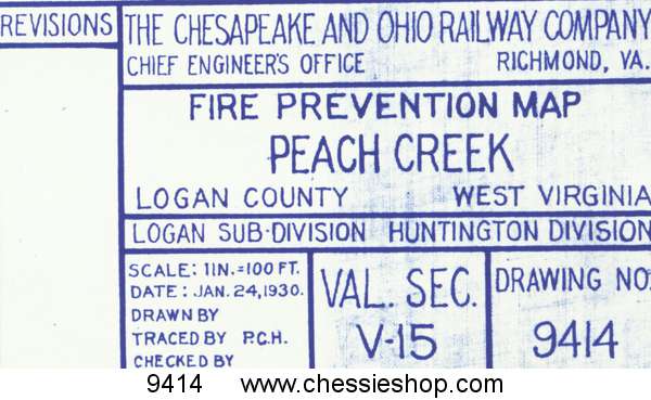 $6.00
$6.00
Fire Prevention Map Peach Creek, WV 1/24/30 (12"x37")
Fire Prevention maps show tracks, water lines, and structures. Each structure is numbered and identified as to purpose. These maps are a wealth of...
 $6.00
$6.00
9871
Fire Prevention Map Peru, IN 12/10/1933 (12"x54") $7.50
$7.50
Fire Prevention Map Peru, IN 12/10/1933 (12"x54")
Fire Prevention maps show tracks, water lines, and structures. Each structure is numbered and identified as to purpose. These maps are a wealth of...
 $7.50
$7.50
9295
Fire Prevention Map Raleigh, WV 1/22/1930 (12"x30")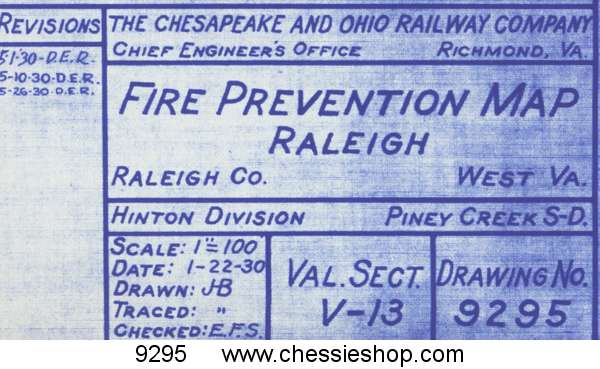 $6.00
$6.00
Fire Prevention Map Raleigh, WV 1/22/1930 (12"x30")
Fire Prevention maps show tracks, water lines, and structures. Each structure is numbered and identified as to purpose. These maps are a wealth of...
 $6.00
$6.00
9284
Fire Prevention Map Ronceverte, WV 5/22/29 (12"x 44")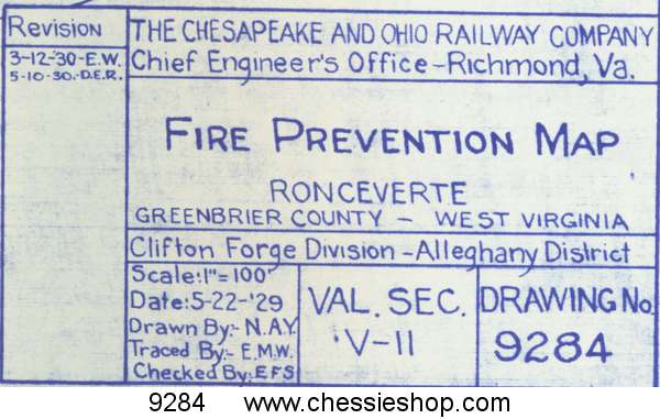 $7.00
$7.00
Fire Prevention Map Ronceverte, WV 5/22/29 (12"x 44")
Fire Prevention maps show tracks, water lines, and structures. Each structure is numbered and identified as to purpose. These maps are a wealth of...
 $7.00
$7.00
9287
Fire Prevention Map Shelby, KY 1/18/30 (12"x30") $6.00
$6.00
Fire Prevention Map Shelby, KY 1/18/30 (12"x30")
Fire Prevention maps show tracks, water lines, and structures. Each structure is numbered and identified as to purpose. These maps are a wealth of...
 $6.00
$6.00
9466
Fire Prevention Map St. Albans, WV 3/22/1930 (12"x60")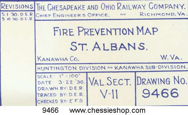 $8.00
$8.00
Fire Prevention Map St. Albans, WV 3/22/1930 (12"x60")
Fire Prevention maps show tracks, water lines, and structures. Each structure is numbered and identified as to purpose. These maps are a wealth of...
 $8.00
$8.00
9297
Fire Prevention Map Thurmond WV 1/22/29 (12"x86") $12.00
Fire Prevention Map Thurmond WV 1/22/29 (12"x86")
Fire Prevention maps show tracks, water lines, and structures. Each structure is numbered and identifed as to purpose. These maps are a wealth of...
 $12.00
5977
Fulton Yard, Richmond, VA, 2/10/23 rev. 8/18/28 (33X115) $24.00
Fulton Yard, Richmond, VA, 2/10/23 rev. 8/18/28 (33X115)
Yard map prints are copied from the original engineering drawings from our Historical Archives. They show detail of all tracks and buildings as of...
 $24.00
6346
Gladstone, VA 4/11/24 rev. 1/2/1944 (18x48) $12.00
Gladstone, VA 4/11/24 rev. 1/2/1944 (18x48)
Yard map prints are copied from the original engineering drawings from our Historical Archives. They show detail of all tracks and buildings as of...
 $12.00
6417
Handley, WV 6/29/1924 rev 5/14/1952 (12x55)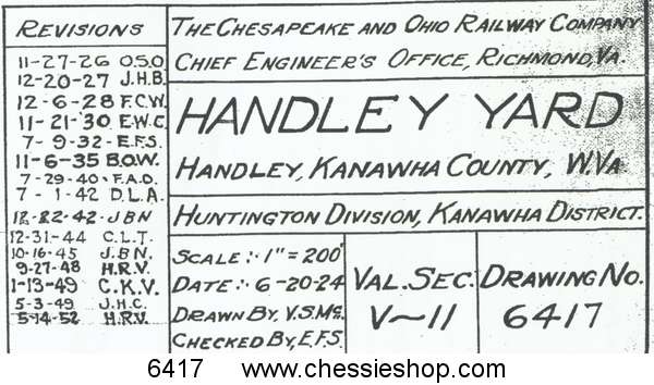 $9.00
$9.00
Handley, WV 6/29/1924 rev 5/14/1952 (12x55)
Yard map prints are copied from the original engineering drawings from our Historical Archives. They show detail of all tracks and buildings as of...
 $9.00
$9.00
6281
Hinton, WV, 2/1/1924 rev. 4/26/46 (29x117) $47.00
Hinton, WV, 2/1/1924 rev. 4/26/46 (29x117)
Yard map prints are copied from the original engineering drawings from our Historical Archives. They show detail of all tracks and buildings as of...
 $47.00
6281-A
Hinton, WV, 3/15/1933, rev. 7/18/1978 (12x33)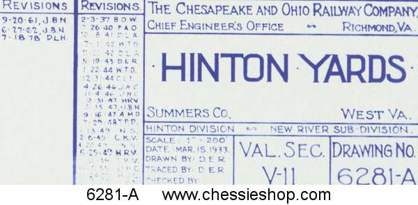 $6.00
$6.00
Hinton, WV, 3/15/1933, rev. 7/18/1978 (12x33)
Yard map prints are copied from the original engineering drawings from our Historical Archives. They show detail of all tracks and buildings as of...
6307-A
Huntington, WV, 3/3/1936 rev. 8/20/1981 (13x50)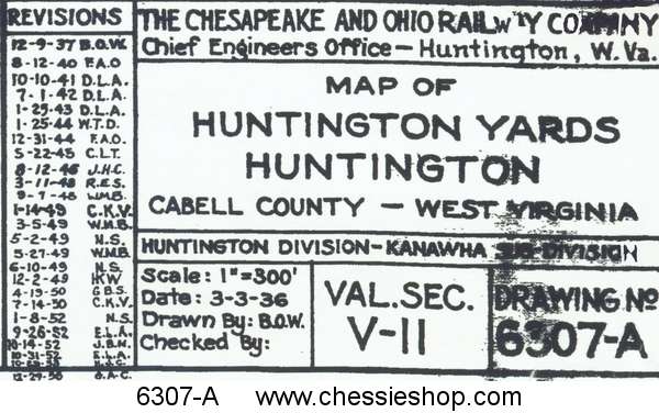 $9.00
$9.00
Huntington, WV, 3/3/1936 rev. 8/20/1981 (13x50)
Yard map prints are copied from the original engineering drawings from our Historical Archives. They show detail of all tracks and buildings as of...
 $9.00
$9.00
AV-14-166
Maps, 1881 & 1869-1874 of Iron Furnaces & Holdings $14.95... more info
Maps, 1881 & 1869-1874 of Iron Furnaces & Holdings
1881 & 1869-1874 Maps of Iron Furnaces and Holdings, Alleghany Co. Available on CD or as a digital download Check out the maps and zoom in...
 $14.95... more info
8003
Raleigh, WV, 9/27/1927 (12x33)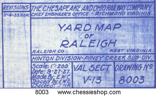 $6.00
$6.00
Raleigh, WV, 9/27/1927 (12x33)
Yard map prints are copied from the original engineering drawings from our Historical Archives. They show detail of all tracks and buildings as of...
 $6.00
$6.00
8003-A
Raleigh, WV, 9/27/1942 (12x27)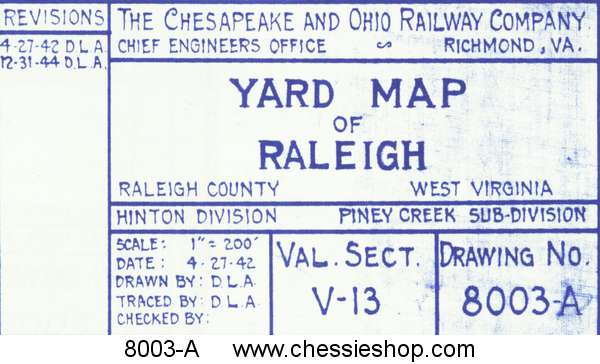 $6.00
$6.00
Raleigh, WV, 9/27/1942 (12x27)
Yard map prints are copied from the original engineering drawings from our Historical Archives. They show detail of all tracks and buildings as of...
 $6.00
$6.00
6249
Ronceverte, WV 12/13/1938 rev 5/20/1981 (12x40) $6.50
$6.50
Ronceverte, WV 12/13/1938 rev 5/20/1981 (12x40)
Yard map prints are copied from the original engineering drawings from our Historical Archives. They show detail of all tracks and buildings as of...
 $6.50
$6.50
4866-B
Russell, KY 1/28/1930 (12x30)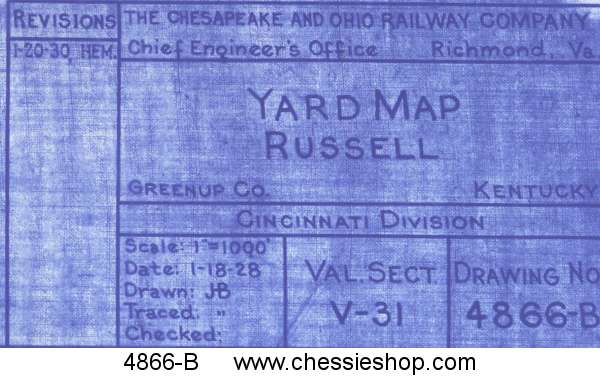 $6.00
$6.00
Russell, KY 1/28/1930 (12x30)
Yard map prints are copied from the original engineering drawings from our Historical Archives. They show detail of all tracks and buildings as of...
 $6.00
$6.00
8090-A
Thurmond Yards, Thurmond, WV 1/31/36 (12x64) $12.00
Thurmond Yards, Thurmond, WV 1/31/36 (12x64)
Yard map prints are copied from the original engineering drawings from our Historical Archives. They show detail of all tracks and buildings as of...
 $12.00
8090
Thurmond, WV 10/8/27 (28x73) $20.00
Thurmond, WV 10/8/27 (28x73)
Yard map prints are copied from the original engineering drawings from our Historical Archives. They show detail of all tracks and buildings as of...
 $20.00
AV-13-145
Valuation Maps, Alleghany Subdivision $49.95... more info
Valuation Maps, Alleghany Subdivision
Alleghany Subdivision Valuation Maps on CD or Digital Download This includes 49 Valuation Maps for the entire Alleghany Subdivision. Each maps shows...
 $49.95... more info
AV-14-171
Valuation Maps, James River Subdivision $39.95... more info
Valuation Maps, James River Subdivision
The James River Subdivision valuation map CD or Digital Download The valuation map originals are about 24x56 inches each, and they cover...
 $39.95... more info
AV-13-148
Valuation Maps, Kanawha Subdivision $49.95... more info
Valuation Maps, Kanawha Subdivision
Kanawha Subdivison Valuation Maps on CD or Digital Download This CD or download covers 79 maps on the Kanawha Subdivision from Handley to...
 $49.95... more info
AV-14-169
Valuation Maps, Mountain Subdivision $49.95... more info
Valuation Maps, Mountain Subdivision
Mountain Subdivision Valuation Maps on CD or Digital Download The Valuation map originals are about 24x56 inches each, and they cover from a mile...
 $49.95... more info
AV-13-146
Valuation Maps, New River Subdivision $49.95... more info
Valuation Maps, New River Subdivision
New River Subdivision Valuation Maps This CD or download includes 43 Valuation Maps for the entire New River Subdivision mainline....
 $49.95... more info
AV-14-172
Valuation Maps, Potts Creek, Hot Springs & Greenbrier Branch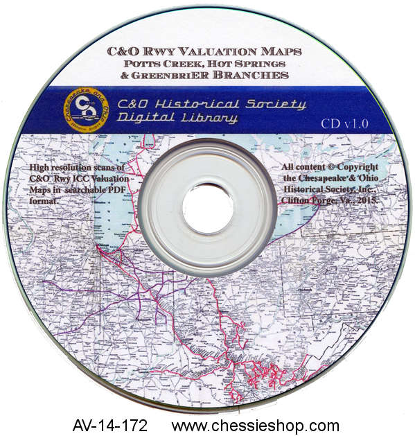 $29.95... more info
Valuation Maps, Potts Creek, Hot Springs & Greenbrier Branch
The Potts Creek, Hot Springs & Greenbrier Branch Subdivision valuation maps CD or Digital Download The valuation map originals are about...
 $29.95... more info
AV-14-170
Valuation Maps, Riavanna Subdivision $39.95... more info
Valuation Maps, Riavanna Subdivision
The Riavanna Subdivison valuation map CD or digital Download The valuation map originals are about 24x56 inches each, and they cover from a mile (for...
 $39.95... more info
AV-14-159
Valuation Maps, Toledo Subdivision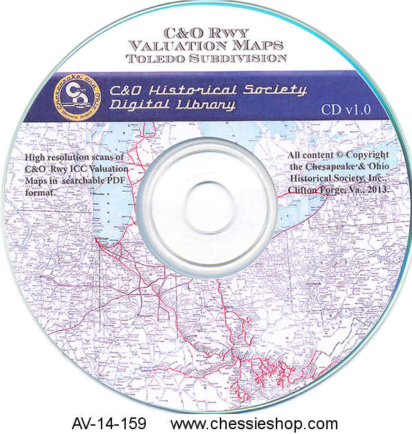 $49.95... more info
Valuation Maps, Toledo Subdivision
Toledo Subdivision Valuation Maps on CD or Digital Download The Toledo Subdivision CD or download has 151 maps. It has all the maps from when...
 $49.95... more info
8103-A
Walbridge, OH (Toledo) 4/26/1929 (12x33)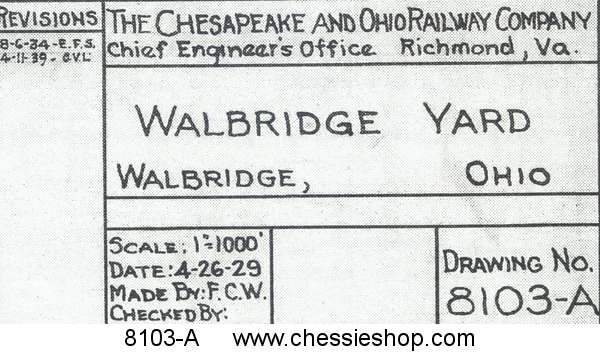 $6.00
$6.00
Walbridge, OH (Toledo) 4/26/1929 (12x33)
Yard map prints are copied from the original engineering drawings from our Historical Archives. They show detail of all tracks and buildings as of...
 $6.00
$6.00
Home | Site Map | Contact Us | Conditions Of Use | Privacy | Shipping Information | Copyright © 2008−2024 C&O Historical Society, Inc
