$14.95
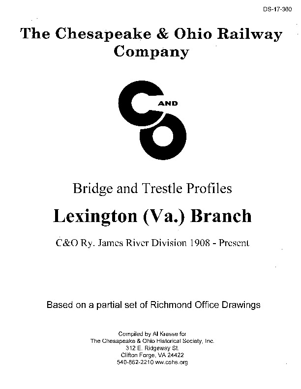
Bridge and Trestle Profiles – Lexington VA Branch – C&O Ry. James River Division 1908-Present
This publication is an appendix to the C&O Lexington (Va.) Branch, Volume 13 of C&O History Series printed in 2016. It is a collage of early bridge profile drawings, later Bridge and Buildings Department documents, and historical and contemporary photographs. The profile drawings were assembled in December 1908 by the Office of the Maintenance of Way Engineer located in Richmond, Virginia. Their purpose was to document the bridges and trestles built by the Richmond & Alleghany Railway Company along the James River Division, including the North (now Maury) River Lexington Branch. The R&A was purchased by the Chesapeake & Ohio Company in 1889.
Unfortunately, we can only find profile drawings from the 7.2 through 15.9 mile posts on this 21- mile-long line. In 1903, the C&O signed a track sharing agreement with the Norfolk & Western and abandoned the first 8.8 miles of the line. The Loch Laird operator was located at Mile Post 9.9 near where the lines diverged. Additionally, the last mile of the branch was owned by the B&O. So, missing are renditions of several trestle crossings between the South River, the East Lexington yard small trestles, the long curved trestle over the North River running up to corporate limits of the town, and the bridge next to the Lexington Depot. However, these profileless bridges have been documented with photos, bridge history cards, and Valuation drawings.
The profiles used in this document are put into geographic perspective with 1908 bridge numbers (to the nearest tenth of a mile without the decimal) and supplemented with sketch maps, history cards, tabulated data and photographs. To confuse the casual reader, he or she should be warned there are at least three subtly different sets of C&O and B&O mile markers referenced. They are based on different zero
mile switch locations used in these drawings and tabulations.
The Chesapeake and Ohio Historical Society also has portions of the 1889 Huntington Division profiles similar to the 1908 James River Division profile drawings. Hopefully, the remaining profile drawings will reveal themselves in a future Archives work session. For the modeler, the profiles are printed as drawn and many have 1/8-, 3/16- or quarter-inch scale representative trestle timber bent layout and deck section drawings. For the historian, the 1908 drawings indicate earlier structures that were either upgraded or replaced. For example, in later periods all trestles had three stringers per rail. Additionally, these drawings illustrate long, low trestles that give a hint why the C&O abandoned the tow path route between Balcony Falls and Loch Laird. That was to use its drier west side route verses dealing with flooding low-lands with long trestles that needed constant maintenance on the east side of the river.
38 pgs.
| Media type | Printed, CD |
|---|
| Availability |
Now available in-store at 312 E. Ridgeway St Clifton Forge 24422 Powered With Oliver Pos |
|---|